Contours & Z value indicator

Feel free to ask any question here
Post Reply
Fincer
Posts: 6
Joined: Thu Jan 21, 2016 6:35 pm

Contours & Z value indicator

Post by Fincer »

Hi,

and thanks for the great program, Daniel! This is very useful for point cloud processing.

I'm quite new with CloudCompare, so forgive me.

I have a question regarding to contour lines and scalar fields (Z value indicator). I have a terrain point cloud and I've created colorized contour lines (plot) for it.
However, I don't see any option for using scalar field (Z scale) with the created contours. Is there a way to display the Z scale for contours as seen here?:
Image

I see this quite critical feature in my current workflow.

As far as I've familiarized myself with the program, it seems that scalar field is only usable with meshes/point clouds but not with contour lines. Am I right? What shall I do to get this work?

Any help is appreciated. :)

Edit: Topic title Contours & Scalar field -> Contours & Z value indicator
Last edited by Fincer on Fri Jan 22, 2016 9:51 am, edited 1 time in total.
daniel
Site Admin
Posts: 7717
Joined: Wed Oct 13, 2010 7:34 am
Location: Grenoble, France
Contact:

Re: Contours & Scalar field

Post by daniel »

Hi,

I'm not sure to understand your question: if you have generated a contour plot (with the Rasterize tool I guess?) then each contour line should have a constant Z value? Or have you generated the contour lines in another way?

Anyway you can convert the Z values of a polyline vertices (the vertices entity is below the polyline in the DB tree). Use the 'Export coordinate to SF method' (see http://www.cloudcompare.org/doc/wiki/in ... )_to_SF(s)). And as it's a point cloud you can display the scalar field.

But I think I missed something ;)
Daniel, CloudCompare admin
Fincer
Posts: 6
Joined: Thu Jan 21, 2016 6:35 pm

Re: Contours & Scalar field

Post by Fincer »

I'm not sure to understand your question: if you have generated a contour plot (with the Rasterize tool I guess?) then each contour line should have a constant Z value? Or have you generated the contour lines in another way?
Thanks for quick replying! :)

Yes, they have Z values, each contour line. I created them by using Tools -> Projection -> Rasterize tool.

What I mean is that I don't have any graphical indicator for displaying contour height values in the view.

Image

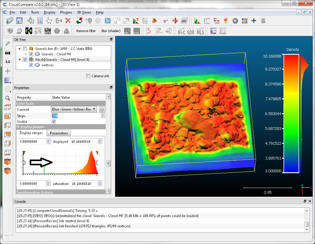
The image above is slightly manipulated to illustrate the issue: The scalar field/graphical Z value indicator displayed on the right is what I'm looking for (just pasted it to the image). However, currently I can't find a method to create it for contour lines in CloudCompare.
daniel
Site Admin
Posts: 7717
Joined: Wed Oct 13, 2010 7:34 am
Location: Grenoble, France
Contact:

Re: Contours & Scalar field

Post by daniel »

Then you would have to cheat by displaying the SF color scale of a cloud having the same heights (or at least the same minimum and maximum heights) as a scalar field. You can use the the original cloud and convert its Z coordinates to a SF for instance. But you'll have to move this cloud out of the visible area (e.g. translate it with the graphical transformation tool).

You can also create a very small cloud (two points in a text file, with the min and max height as scalar value = 4th column). Then load this cloud and display its color scale.
Daniel, CloudCompare admin
Fincer
Posts: 6
Joined: Thu Jan 21, 2016 6:35 pm

Re: Contours & Scalar field

Post by Fincer »

Allright, thanks Daniel.

I know that approach... Which is quite sad because I thought that displaying the Z scale for contours would be possible and I see it more correct/precise way to achieve the goal I'm looking for. Isn't it quite critical to display height scale just for contour lines, what do you think? It's one of the reasons contour lines even exist...that I can link the displayed Z values with corresponding contour lines?

I've used the point cloud trick but still not satisfied neither with the results or workflow. That's why I'm currently using QGIS approach to display height values for these contours. Would be great if I didn't have to use it for this simple task because it would greatly simplify my current workflow if I could display Z values for contours straightly in CloudCompare.

Another great think would be possibility to merge contour lines with the same Z value which is not possible either in CloudCompare, I think.

Do you have plans to implement these features someday into CloudCompare? The program is otherwise great but I still miss these small features - especially the real Z value indicator for contour lines.
daniel
Site Admin
Posts: 7717
Joined: Wed Oct 13, 2010 7:34 am
Location: Grenoble, France
Contact:

Re: Contours & Z value indicator

Post by daniel »

The polyline support is very limited in CC. Especially the contour lines that are quite new. Moreover each contour line is an independent object. This would make doing what you suggest quite complicated right now.

This is definitely a side product for now and it's quite far from CloudCompare's core. For the little story the contour lines are actually generated in order to be exported to a GIS program (it came with the SHP file support). And a company has actually financed the development of this feature.

CloudCompare is an open source project. There's no real plan apart for what each contributor/company/laboratory needs (i.e. is willing to spend some time or money on ;). And I personally don't spend my rare free time on developing features that are already available in other great open source tools.

Of course if you can develop in C++ or know somebody who wants to do it, then I'll happily help you integrate what you want.
Daniel, CloudCompare admin
Fincer
Posts: 6
Joined: Thu Jan 21, 2016 6:35 pm

Re: Contours & Z value indicator

Post by Fincer »

Of course, I understand your point. If someone was willing to pay for this feature...well, maybe another story then.

I think I stick on the QGIS approach for the time being. It's still very helpful to hear your thoughts regarding to this issue. Thank you. :)
Post Reply