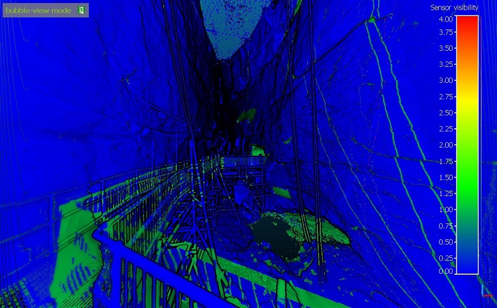
Sensors\Ground Based Lidar\Compute Points Visibility With Depth Buffer
Menu
This tool is accessible via the 'Edit > Sensors > TLS/GBL > Compute points visibility (with depth buffer)' menu.
Description
This tool allows to classify any point cloud based on its 'visibility' from the highlighted sensor. This tool is available since version 2.6.2.
Procedure
To call this tool, simply highlight a TLS/GBL (Ground Based Laser) sensor entity.
After calling this method, choose one of the currently loaded point cloud from the drop-down list that appears. CloudCompare will then use the sensor position and parameters to determine if each point of the selected cloud have been 'seen' by the sensor. The possible classification labels are:
- VISIBLE (0)
- HIDDEN (1)
- OUT OF RANGE (2)
- OUT OF FIELD OF VIEW (3)
Note: the classification values are output in a dedicated scalar field. Points associated to particular values can then be extracted with the Filter by Value method.
